


 Photo from Aeroview technologies
Originally Posted On: Postal Code Polygons | FSALDU Polygons | Postal Code Boundaries (aeroview.ca)
COVERAGE: WORLDWIDE
No matter how many postal code polygons you require, we have the file for you. We are also constantly updating our databases, giving you the most recent and accurate data available.
6 digit postal code polygons for Canada, are also known FSALDU Polygons and Points (for postal codes in Canada).
Canadian Postal Code Boundary Files also have alternate names. We’ve outlined the most common ones below. These terms are often interchangeable and typically refer to the same thing, so no matter the name, we can offer it to you.
We can supply you with any data products related to postal codes, whether it’s a Canadian postal code, or a postal/zip code from another country.
- Postal Code Polygons/Boundaries
- FSALDU Polygons/Boundaries
- Post Code Polygons/Boundaries
- Postal Code Maps
- Postal Code Boundaries
- Canadian Boundaries File
- Canadian Postal Codes
Note: Postal code polygons are different than latitude longitude data points. For latitude and longitude coordinates and adding X/Y (GPS) location, please visit our Geocoding page.
FSALDU POLYGONS AND POINTS (CANADA) – CANADA POSTAL CODES
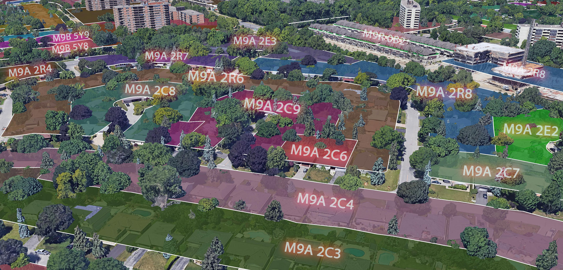
The FSALDU database contains polygon and point representations showing the locations of Canadian Postal Codes.
There are over 835,000 unique postal codes in this file that represent both Forward Sortation Areas (FSA) and Local Delivery Units (LDU). The first character in the Forward Sortation Areas are defined geographic areas and are also known as “postal districts”.
These districts often cover an entire province, except for Ontario and Quebec where there are multiple districts due to population. The second character (which is a digit) within the Forward Sortation Area indicates whether the geographic area is urban or rural.
Any FSA with a “0” in the middle of the 3-digit code indicates a rural location. The third character in an FSA represents an urban area, an entire town or city, or a portion of a major metropolitan area.
FSA POLYGONS AND POINTS (CANADA)
The FSA, or Forward Sortation Area, database contains all postal districts within Canada. There are over 1,600 Forward Sortation Areas in this database within Canada and represent the geographic area of all 6-digit (FSALDU) postal codes within that FSA.
FSALD POLYGONS AND POINTS (CANADA)
The 5-digit FSALD location represent a more general view of postal codes than the FSALDU polygons do. This database is ideal for generating sales and service territories among other forms of analysis.
FSAL POLYGONS AND POINTS (CANADA)
The 4-digit FSAL file represents the first four characters of the Canadian Postal Codes. This database is useful for more of a granular analysis than the FSA boundaries do. This database is ideal for generating customer territories and more generalized sales/service territories.
ZIP CODE POLYGONS AND POINTS (UNITED STATES)
Zip codes, or Zone Improvement Areas, are created by the United Postal Service and contain over 41,000 active zip codes in this database for the United States.
The first digit in the Zip Code represents the State or group of States within the US. The second and third digit represent a larger geographic region (including part of a city or town) while the fourth and fifth digit representing a more specific area or location inside that region.
POSTAL CODES POLYGONS AND POINTS (MEXICO)
Postal codes in Mexico are issued by the Correos de México. There are over 67,000 5-digit postal codes in this database and are identified by the first 2-digits which represent the state, and the last 3-digits representing the local area.
POSTCODE POLYGONS AND POINTS (UK)
Postcodes in the UK are alphanumeric in nature and represent a delivery area containing a grouping of addresses or single delivery unit.
They can range from six to eight characters and are made up of an outward code and an inward code. The outward code contains the postcode area and the postcode district while the inward code includes the postcode sector and postcode unit. This file contains over 1.7M postcodes for the UK.
Our data products are available in various formats including Postal Code Shapefiles, Zip Code Shapefiles, Zip Code KML and Postal Code KML.
Note: Statistics Canada does not offer Canadian Postal Code data.
If you have any questions regarding our postal code polygons, feel free to contact us and one of our experts will be happy to assist you.
